Posts

Showing posts from December, 2017

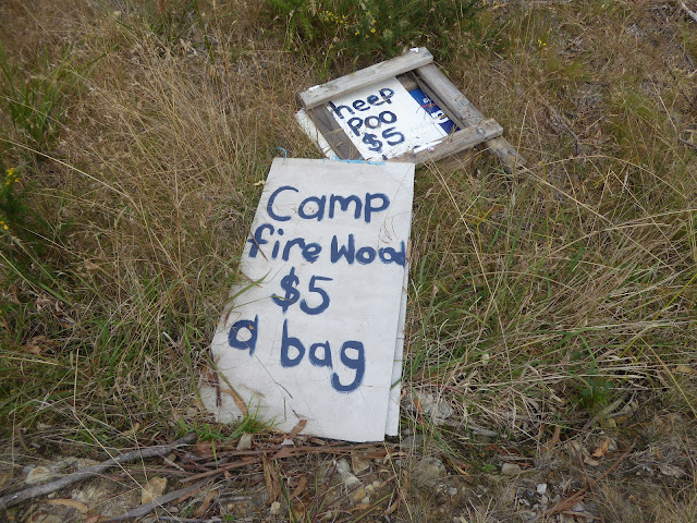
3. The Cambrian Way OEX bush pro Bivvi wet sleeping bag no mat in strong rain and wind The Blorenge.

Image
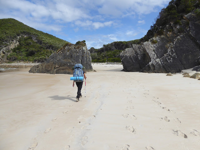
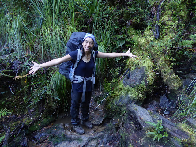
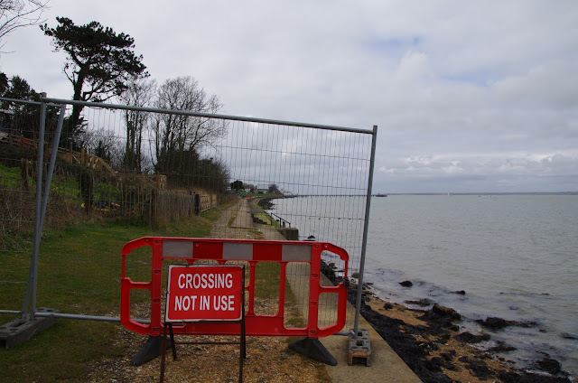
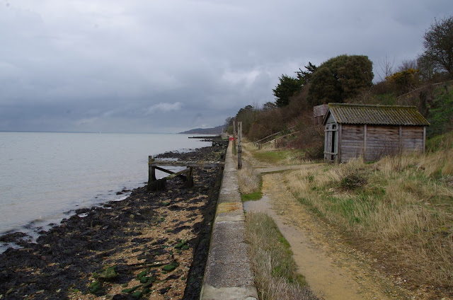
Day Three on the The Cambrian Way mountain trail 479 km (298 miles) with a total ascent of 22,460 m (73,700 ft). I think it could be Britain's hardest long distance trail. Its hard to say but looking at the map i think i started todays episode around the Mynydd Garnclochdy area i want give exact camping locations away. I was so wet from the rain all night i set about getting ready to walk around 4am just to keep warm. I was no risk at cold from the time of Year and in good health. So walked back up towards Mynydd Garnclochdy i think. The rain came back on top the hill. The rain was very bad so much so i could only see about couple of meters ahead what with the mist as well as the dark even with two powerful lights. By this time my cannon camera was destroyed by the weather i should know by now and my phone was useless take note people think phone navigation fine lucky i know this i used my garmin fenix3 gps watch with the track loaded onto so i knew i was heading in the general dir

Old beach shop perhaps

Image
Old beach shop perhaps Isle of wight coast path Totland bay England. UK www.4seasonbackpacking.co.uk

Toots walking along a beach

Image
Toots walking along a beach Maria Island Tasmania Australia www.4seasonbackpacking.co.uk

Toots playing the piano

Image
Toots playing the piano Maria Island Tasmania Australia www.4seasonbackpacking.co.uk

sheep poo $5 a bag and fire wood $5 a bag

Image
sheep poo $5 a bag and fire wood $5 a bag Chain of Lagoons Tasmania Australia www.4seasonbackpacking.co.uk

Toots walking thought the gate way of the rocks

Image
Toots walking thought the gate way of the rocks South Coast Track Southwest National Park Tasmanian Wilderness Tasmania Australia www.4seasonbackpacking.co.uk

Path diversion notice ignored it & indeed not passable but nice beach

Image
Path diversion notice ignored it & indeed not passable but nice beach South Coast Track Southwest National Park Tasmanian Wilderness Tasmania Australia www.4seasonbackpacking.co.uk

Toots the navigator finding the next camping spot

Image
Toots the navigator finding the next camping spot South Coast Track Southwest National Park Tasmanian Wilderness Tasmania Australia www.4seasonbackpacking.co.uk

Relaxing after losing most my coffee and drinking sea water

Image
Relaxing after losing most my coffee and drinking sea water South Coast Track Southwest National Park Tasmanian Wilderness Tasmania Australia www.4seasonbackpacking.co.uk

Totland Bay Pier

Image
Totland Bay Pier Isle of wight coast path Totland bay England. UK www.4seasonbackpacking.co.uk

Footpath closed

Image
Footpath closed Isle of wight coast path Totland bay England. UK www.4seasonbackpacking.co.uk

Fishing hut

Image
Fishing hut Isle of wight coast path Totland bay England. UK www.4seasonbackpacking.co.uk

Run England 321 sign

Image
Run England 321 sign Isle of wight coast path Norton England. UK www.4seasonbackpacking.co.uk

Time for a rest

Image
Time for a rest Isle of wight coast path Norton England. UK www.4seasonbackpacking.co.uk

Danger bathing prohibited

Image
Danger bathing prohibited Isle of wight coast path Norton England. UK www.4seasonbackpacking.co.uk

Just rowed the New River Lagoon boat crossing

Image
Just rowed the New River Lagoon boat crossing South Coast Track Southwest National Park Tasmanian Wilderness Tasmania Australia www.4seasonbackpacking.co.uk

Toots on way up Ironbound range

Image
Toots on way up Ironbound range South Coast Track Southwest National Park Tasmanian Wilderness Tasmania Australia www.4seasonbackpacking.co.uk

Toots taking a rest on way to top of Ironbound range

Image
Toots taking a rest on way to top of Ironbound range South Coast Track Southwest National Park Tasmanian Wilderness Tasmania Australia www.4seasonbackpacking.co.uk

Toots at the top of Ironbound range

Image
Toots at the top of Ironbound range South Coast Track Southwest National Park Tasmanian Wilderness Tasmania Australia www.4seasonbackpacking.co.uk

Toots at the top of Ironbound range

Image
Toots at the top of Ironbound range South Coast Track Southwest National Park Tasmanian Wilderness Tasmania Australia www.4seasonbackpacking.co.uk

Toots coming down Ironbound range

Image
Toots coming down Ironbound range South Coast Track Southwest National Park Tasmanian Wilderness Tasmania Australia www.4seasonbackpacking.co.uk

hobart showgrounds campsite sign

Image
hobart showgrounds campsite sign Glenorchy Tasmania Australia www.4seasonbackpacking.co.uk

Wild camping spot

Image
Wild camping spot Freycinet Peninsula Circuit freycinet national park Tasmania Australia www.4seasonbackpacking.co.uk

A tone of country cold found at side of a road

Image
A tone of country cold found at side of a road Bicheno Tasmania Australia www.4seasonbackpacking.co.uk

hobart showgrounds

Image
hobart showgrounds Glenorchy Tasmania Australia www.4seasonbackpacking.co.uk

Coast path closed

Image
Coast path closed Isle of wight coast path Yarmouth England. UK www.4seasonbackpacking.co.uk

Old fishing hut

Image
Old fishing hut Isle of wight coast path Yarmouth England. UK www.4seasonbackpacking.co.uk

Old car

Image
Old car Isle of wight coast path Cranmore England. UK www.4seasonbackpacking.co.uk

Footpath sign

Image
Footpath sign Isle of wight coast path Newtown England. UK www.4seasonbackpacking.co.uk

Survellance camera in operation

Image
Survellance camera in operation Isle of wight coast path Hamstead England. UK www.4seasonbackpacking.co.uk